Description
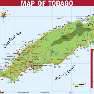
This map of Trinidad features the counties, rivers, dams and waters around the island. Ideal for that part of the curriculum that focuses on water.
![Map of Trinidad Showing Counties and Water-ways Chart / Poster / Teaching Aid [Size: 24 x 18"]](https://studeemonkey.com/wp-content/uploads/2023/01/Trinidad-n-Tobago-Counties-n-Water-Cycle.jpg)
5.30$
Ideal for that part of the curriculum that addresses “The waters around us”
In stock
This map of Trinidad features the counties, rivers, dams and waters around the island. Ideal for that part of the curriculum that focuses on water.
| Weight | .026 g |
|---|---|
| Dimensions | 63.5 × 45.72 × .3175 cm |
![Map Of Trinidad Chart / Poster / Teaching Aid [Size: 30" x 20"] Smarter Choice!](https://studeemonkey.com/wp-content/uploads/2023/08/33746-300x300.jpg?crop=1)
![Christmas Chart / Poster / Teaching Aids [Size: 18" x 24"] Holidays](https://studeemonkey.com/wp-content/uploads/2021/09/christmas-chart-300x300.jpg?crop=1)
![National Symbols of Trinidad and Tobago - Charts, Posters, Teaching Aids [Size:24" x 18"] STEAM](https://studeemonkey.com/wp-content/uploads/2025/03/National-Symbols-images-with-double-chaconia-300x300.png?crop=1)

![The Presidents of the Republic of Trinidad and Tobago, (2023 - 2028) -🇹🇹 [Chart, Teaching Aid, Poster] Size: 25](https://studeemonkey.com/wp-content/uploads/2023/01/Presidents-Chart-2023-100x100.jpg?crop=1)
![The Prime Ministers of Trinidad and Tobago - [Chart, Teaching Aid, Poster] 🇹🇹 Size: 25](https://studeemonkey.com/wp-content/uploads/2023/01/img_6564-100x100.jpeg?crop=1)

Reviews
There are no reviews yet.